


0
Ascents

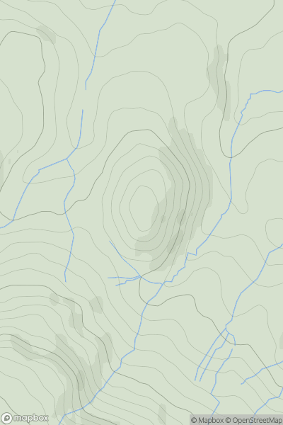
 Central Pennines
 0
0 303.0
303.0User Activity
No recent Activity
0
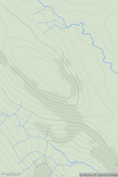
Ascents
Lake District E
0
492.0User Activity
No recent Activity
0
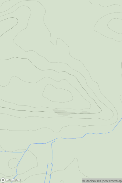
Ascents
South Central England
0
76.0User Activity
No recent Activity

0
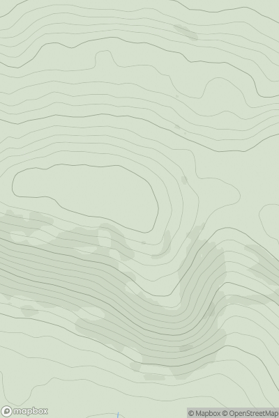
Ascents
South West England
0
333.0User Activity
No recent Activity
0
Ascents
South Central England
0
211.0User Activity
No recent Activity
0
Ascents
Lancashire, Cheshire and S Pennines
0
396.0User Activity
No recent Activity