


0
Ascents

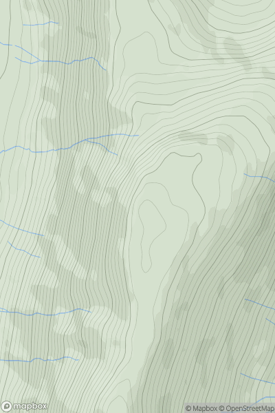
 Lake District C&W
 0
0 575.0
575.0User Activity
No recent Activity
![Thumbnail image for St Helen's [South East England] showing contour plot for surrounding peak](/static/img/mountains_img_db/18494_St_Helen's_[South_East_England].png)
0
Ascents
South East England
0
156.0User Activity
No recent Activity
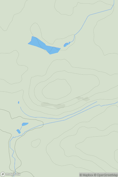
0
Ascents
Lancashire, Cheshire and S Pennines
0
95.7User Activity
No recent Activity
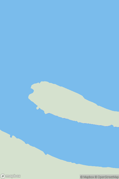
0
Ascents
The River Tees to The Wash
0
5.0User Activity
No recent Activity
0
Ascents
South West England
0
185.0User Activity
No recent Activity
.png)
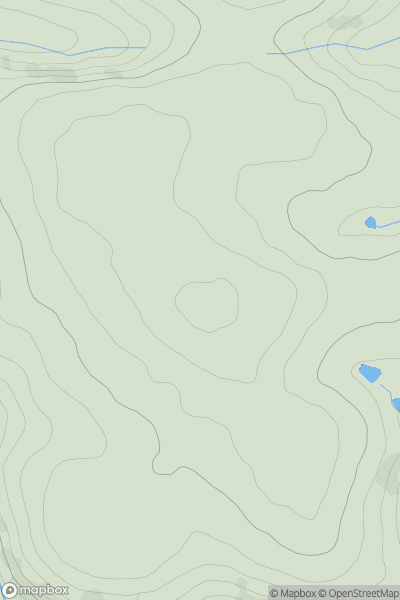
0
Ascents
Lake District S
0
334.0User Activity
No recent Activity