


0
Ascents

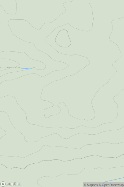
 South West England
 0
0 154.9
154.9User Activity
No recent Activity
0
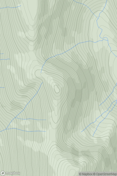
Ascents
Lake District E
0
720.0User Activity
No recent Activity
0
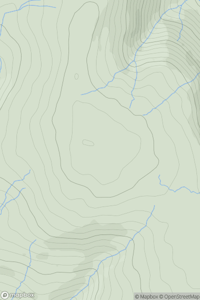
Ascents
Lancashire, Cheshire and S Pennines
0
569.0User Activity
No recent Activity
0
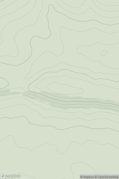
Ascents
South Central England
0
132.0User Activity
No recent Activity
0
Ascents
Lake District S
0
435.0User Activity
No recent Activity
0
Ascents
Central and Eastern England
0
239.7User Activity
No recent Activity