


0
Ascents

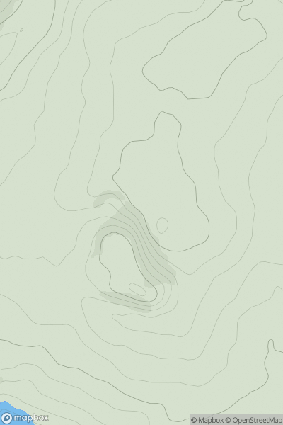
 Lancashire, Cheshire and S Pennines
 0
0 413.0
413.0User Activity
No recent Activity
0
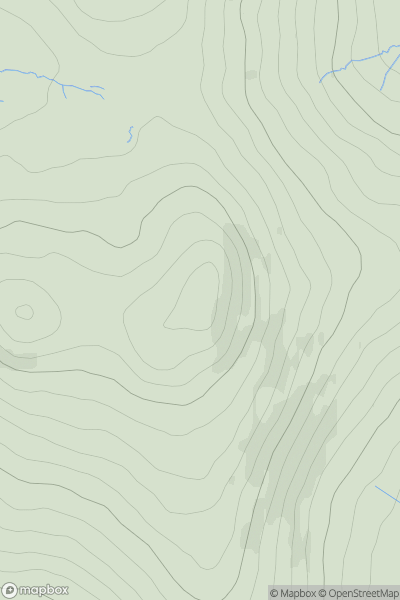
Ascents
Lake District S
0
549.0User Activity
No recent Activity
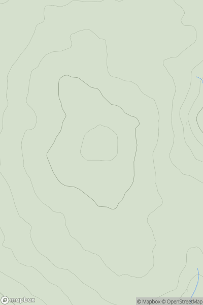
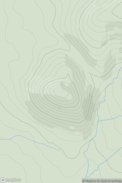
![Thumbnail image for Prospect Hill [South West England] showing contour plot for surrounding peak](/static/img/mountains_img_db/17743_Prospect_Hill_[South_West_England].png)
0
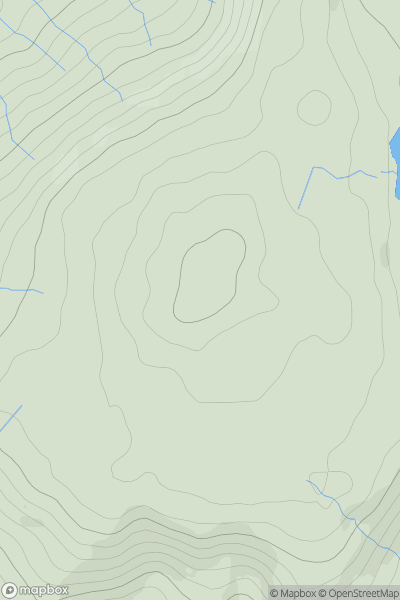
Ascents
South West England
0
134.0User Activity
No recent Activity
0
Ascents
South West England
0
515.0User Activity
No recent Activity
0
Ascents
Shropshire
0
510.5User Activity
No recent Activity
0
Ascents
North Pennines
0
398.0User Activity
No recent Activity