


0
Ascents

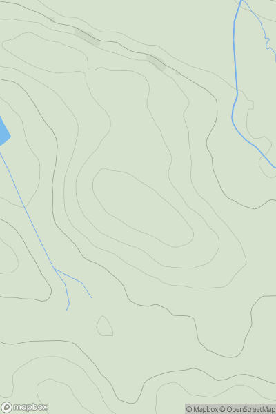
 North Pennines
 0
0 192.0
192.0User Activity
No recent Activity
0
Ascents
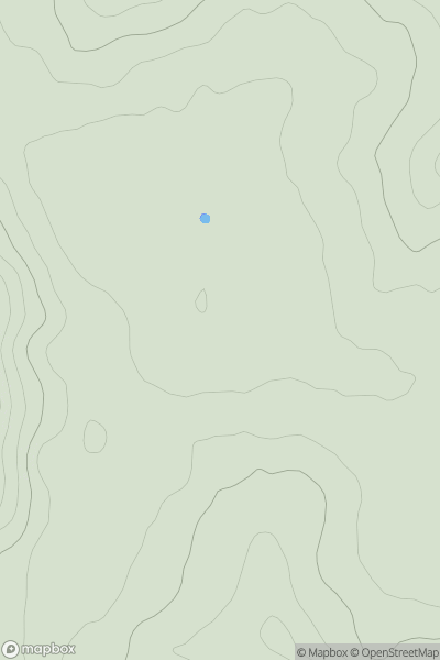
Central and Eastern England
0
330.0User Activity
No recent Activity
0
Ascents
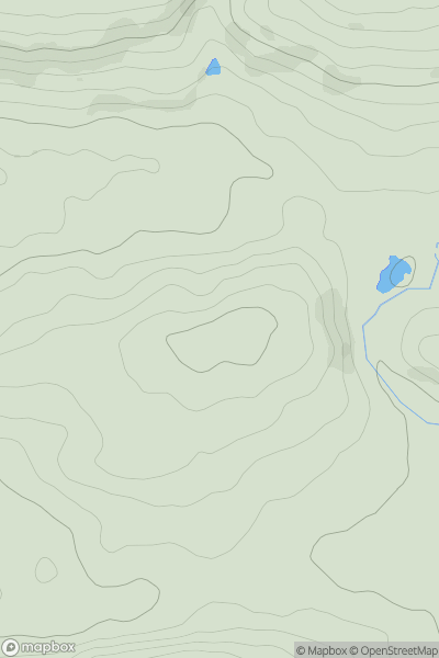
South West England
0
212.0User Activity
No recent Activity
0
Ascents
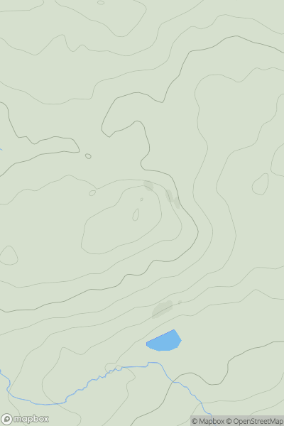
Welsh Borders S
0
329.2User Activity
No recent Activity
0
Ascents
Central and Eastern England
0
51.0User Activity
No recent Activity
0
Ascents
South West England
0
133.0User Activity
No recent Activity