


0
Ascents

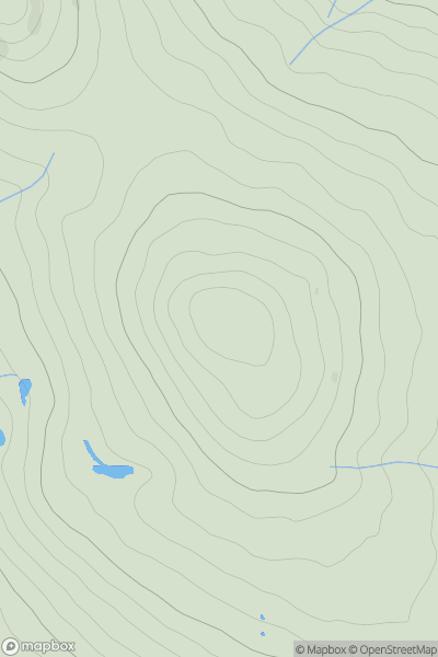
 North Pennines
 0
0 847.5
847.5User Activity
No recent Activity
0
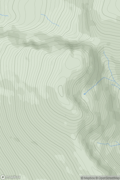
Ascents
Lake District C&W
0
963.9User Activity
No recent Activity
0
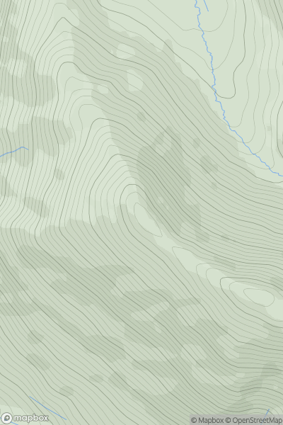
Ascents
Lake District N
0
690.4User Activity
No recent Activity
0
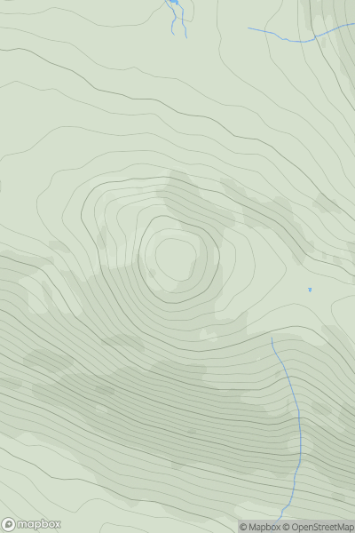
Ascents
Lake District C&W
0
633.0User Activity
No recent Activity
0
Ascents
South East England
0
56.0User Activity
No recent Activity
0
Ascents
Northumberland
0
407.0User Activity
No recent Activity