

![Thumbnail image for Hart Hill [Welsh Borders S] showing contour plot for surrounding peak](/static/img/mountains_img_db/17065_Hart_Hill_[Welsh_Borders_S].png)


0
Ascents

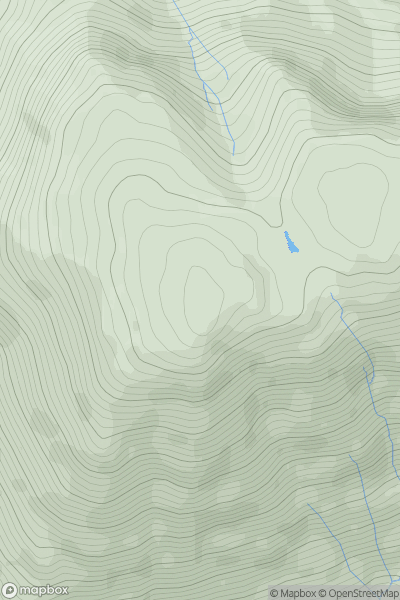
 Welsh Borders S
 0
0 263.0
263.0User Activity
No recent Activity
0
Ascents
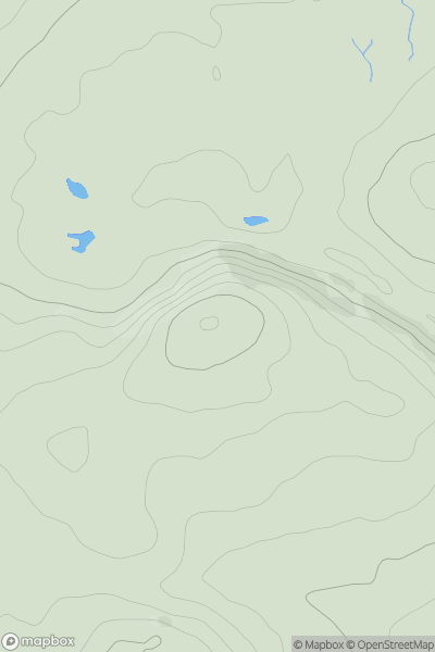
Lake District C&W
0
802.0User Activity
No recent Activity
0
Ascents
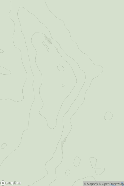
Lancashire, Cheshire and S Pennines
0
410.0User Activity
No recent Activity
0
Ascents
The River Tees to The Wash
0
40.3User Activity
No recent Activity
.png)
0
Ascents
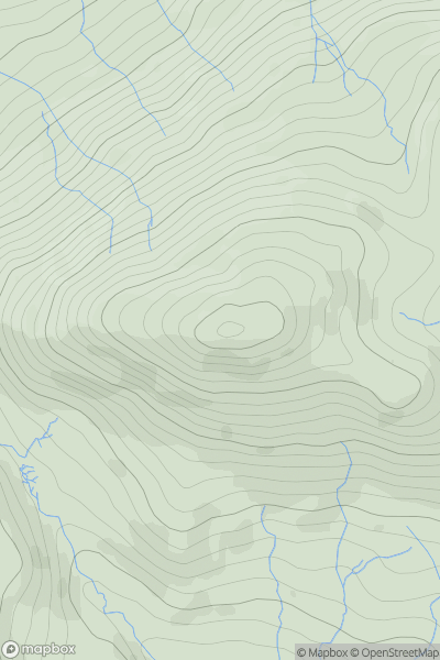
North Pennines
0
564.6User Activity
No recent Activity
0
Ascents
Lake District S
0
529.0User Activity
No recent Activity