


0
Ascents

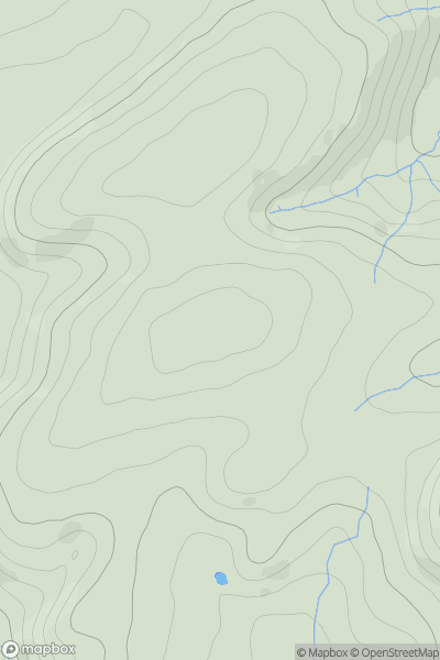
 Shropshire
 0
0 299.0
299.0User Activity
No recent Activity
0
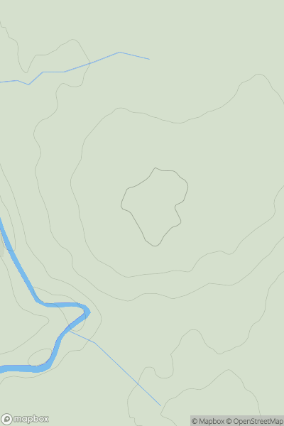
Ascents
North Pennines
0
101.0User Activity
No recent Activity
0
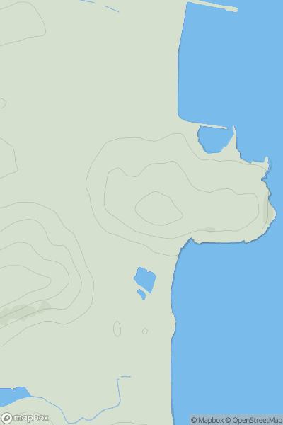
Ascents
South West England
0
34.0User Activity
No recent Activity
0
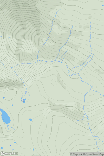
Ascents
Lake District C&W
0
494.0User Activity
No recent Activity
0
Ascents
Central and Eastern England
0
177.0User Activity
No recent Activity
0
Ascents
South West England
0
187.0User Activity
No recent Activity