


0
Ascents

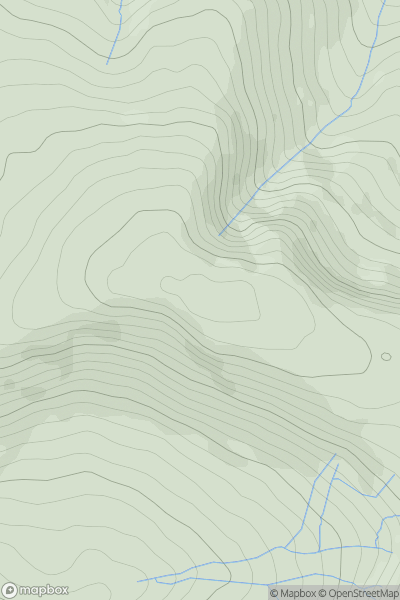
 Lancashire, Cheshire and S Pennines
 0
0 476.0
476.0User Activity
No recent Activity
0
Ascents
South West England
0
263.0User Activity
No recent Activity
0
Ascents
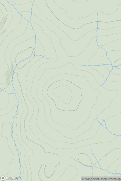
Shropshire
0
321.0User Activity
No recent Activity
0
Ascents
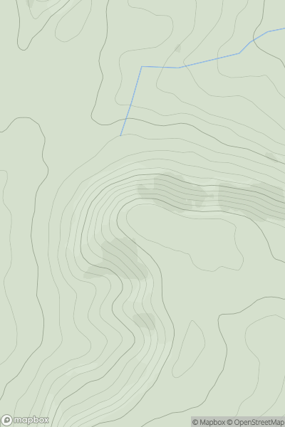
Central Pennines
0
668.0User Activity
No recent Activity
0
Ascents
South East England
0
143.0User Activity
No recent Activity
0
Ascents
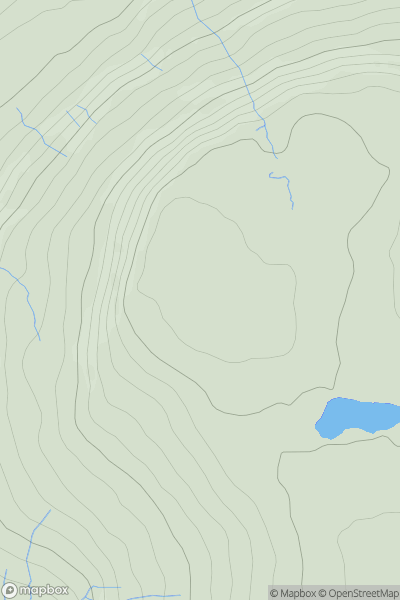
Lake District S
0
223.0User Activity
No recent Activity