


0
Ascents

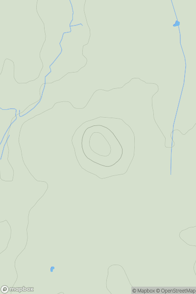
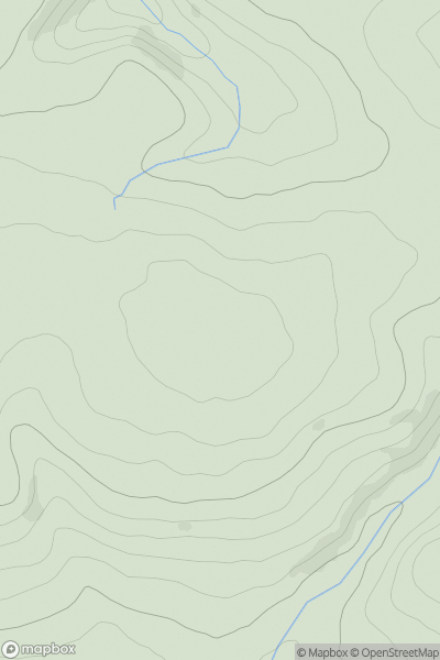
 Welsh Borders S
 0
0 68.0
68.0User Activity
No recent Activity
0
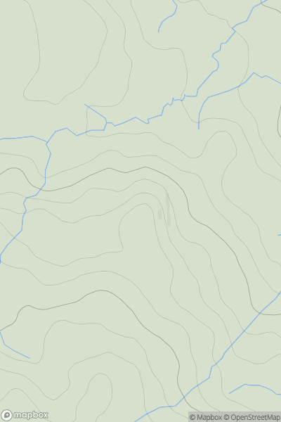
Ascents
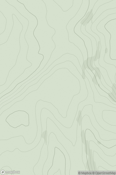
Lake District E
0
440.0User Activity
No recent Activity
0
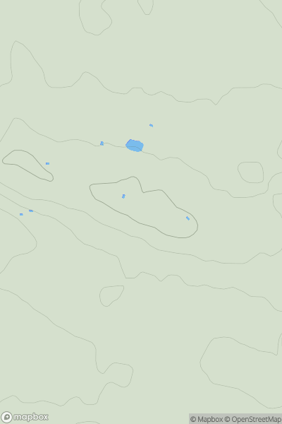
Ascents
South Central England
0
206.0User Activity
No recent Activity
0
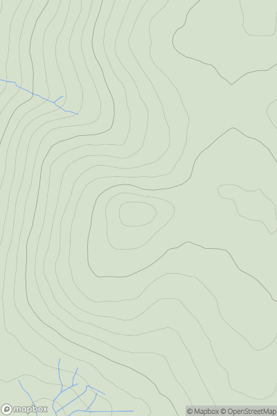
Ascents
South West England
0
589.0User Activity
No recent Activity
0
Ascents
South West England
0
140.8User Activity
No recent Activity
0
Ascents
South East England
0
148.0User Activity
No recent Activity