


0
Ascents

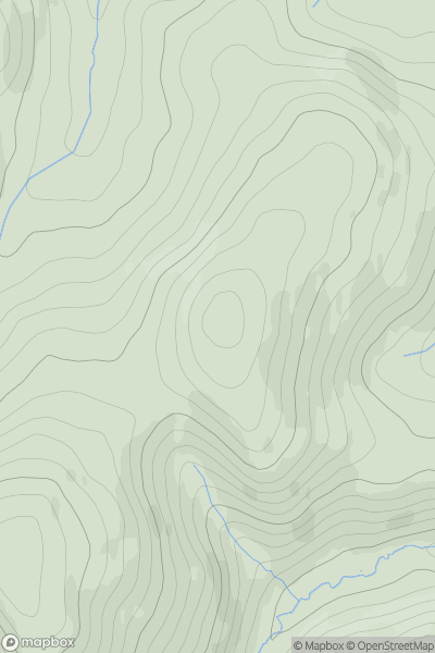
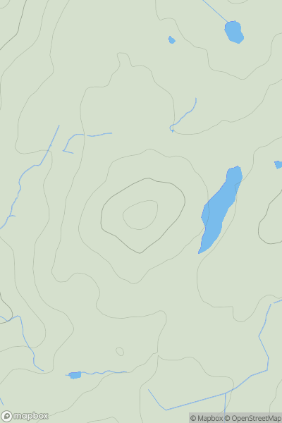
 Northumberland
 0
0 397.0
397.0User Activity
No recent Activity
0
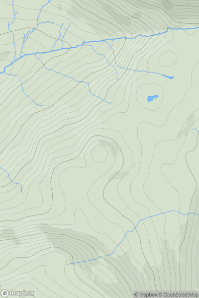
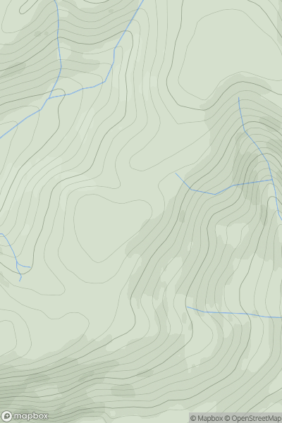
Ascents
Lake District S
0
433.0User Activity
No recent Activity
0
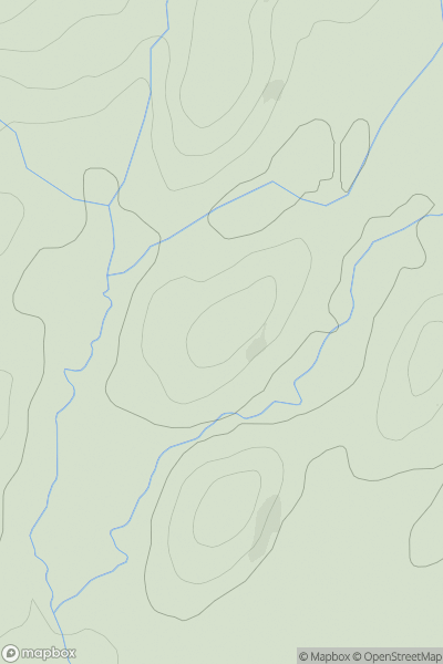
Ascents
Lake District S
0
132.0User Activity
No recent Activity
0
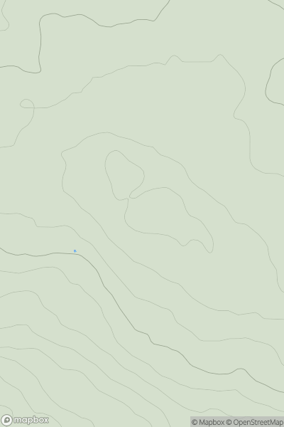
Ascents
Lancashire, Cheshire and S Pennines
0
381.5User Activity
No recent Activity
0
Ascents
Lake District S
0
214.3User Activity
No recent Activity
0
Ascents
Lake District N
0
493.0User Activity
No recent Activity