


0
Ascents

 Lake District E
 0
0 514.0
514.0User Activity
No recent Activity
0
Ascents
North Pennines
0
609.2User Activity
No recent Activity
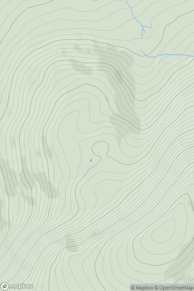
![Thumbnail image for Hart Crag [Lake District E] [NY412086] showing contour plot for surrounding peak](/static/img/mountains_img_db/7979_Hart_Crag_[Lake_District_E]_[NY412086].png)
0
Ascents
Lake District E
0
601.0User Activity
No recent Activity
0
Ascents
North Pennines
0
76.0User Activity
No recent Activity
.png)
0
Ascents
The River Tees to The Wash
0
205.0User Activity
No recent Activity
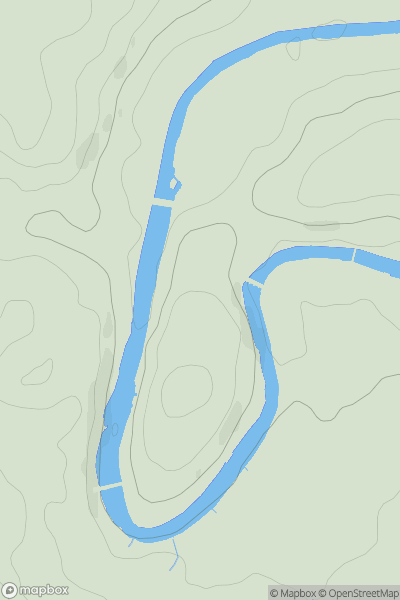
![Thumbnail image for Oat Hill [Central and Eastern England] [SJ978203] showing contour plot for surrounding peak](/static/img/mountains_img_db/17373_Oat_Hill_[Central_and_Eastern_England]_[SJ978203].png)
0
Ascents
Central and Eastern England
0
162.3User Activity
No recent Activity