


0
Ascents

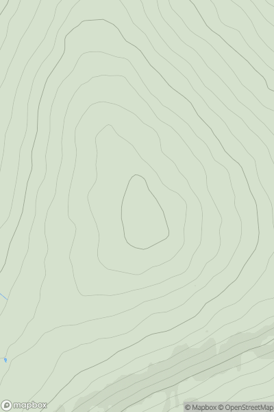
 North Pennines
 0
0 656.0
656.0User Activity
No recent Activity
0
Ascents
South West England
0
284.0User Activity
No recent Activity
0
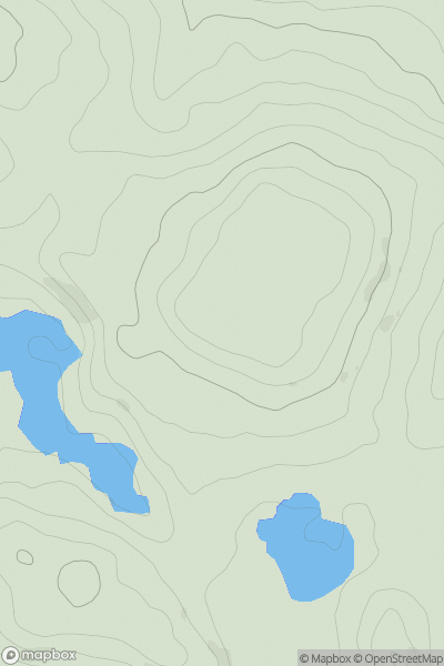
Ascents
Lake District S
0
199.3User Activity
No recent Activity
0
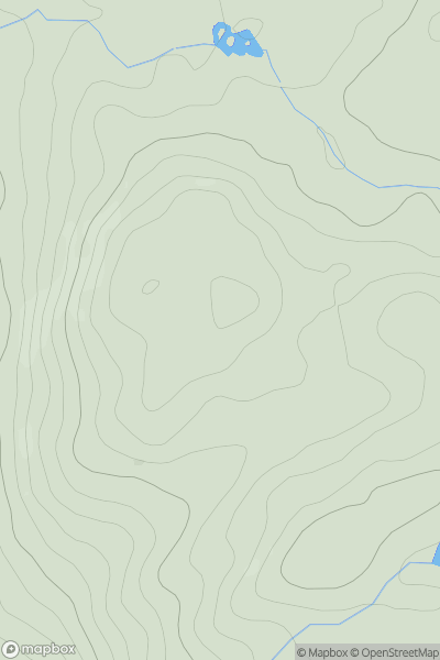
Ascents
Lake District C&W
0
959.3User Activity
No recent Activity
.png)
0
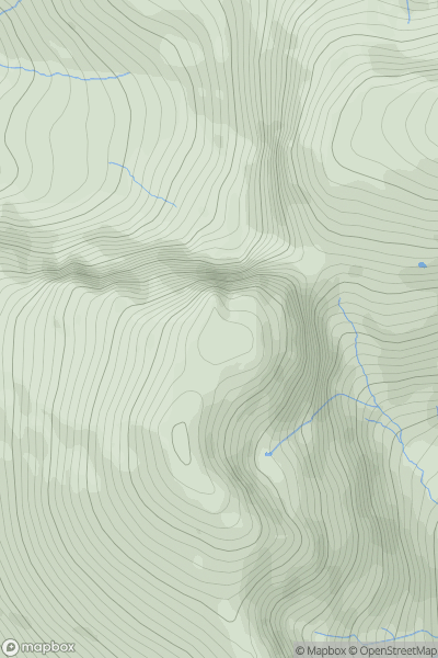
Ascents
Lancashire, Cheshire and S Pennines
0
245.0User Activity
No recent Activity
0
Ascents
South West England
0
168.0User Activity
No recent Activity