


0
Ascents

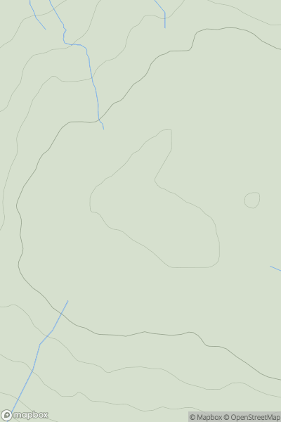
 North Pennines
 0
0 620.1
620.1User Activity
No recent Activity
0
Ascents
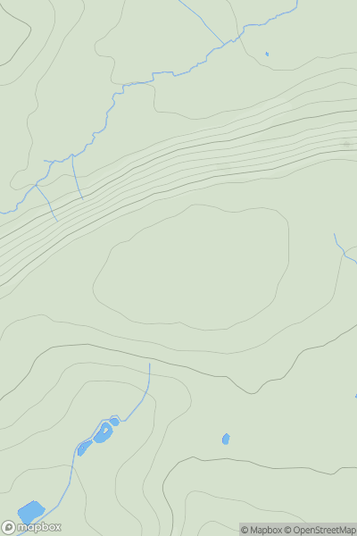
Shropshire
0
279.0User Activity
No recent Activity
0
Ascents
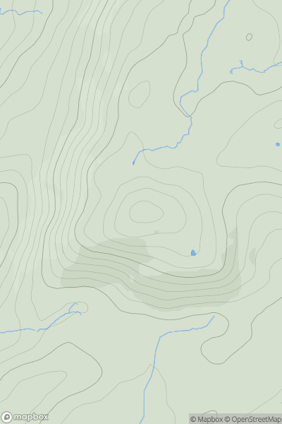
Lake District S
0
248.0User Activity
No recent Activity

0
Ascents
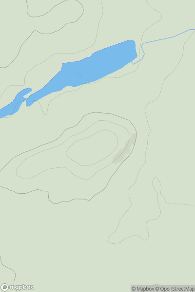
South West England
0
380.0User Activity
No recent Activity
0
Ascents
The River Tees to The Wash
0
81.0User Activity
No recent Activity
0
Ascents
South West England
0
205.0User Activity
No recent Activity