

.png)


0
Ascents

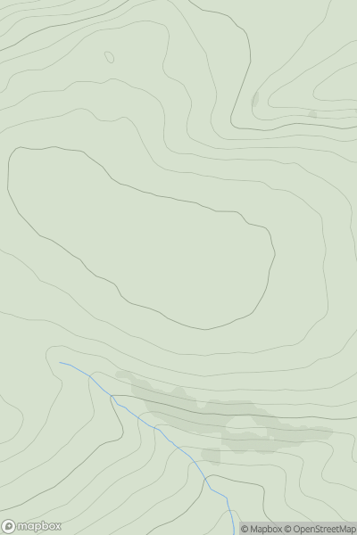
 Lake District S
 0
0 653.2
653.2User Activity
No recent Activity
0
Ascents
Shropshire
0
309.0User Activity
No recent Activity
0
Ascents
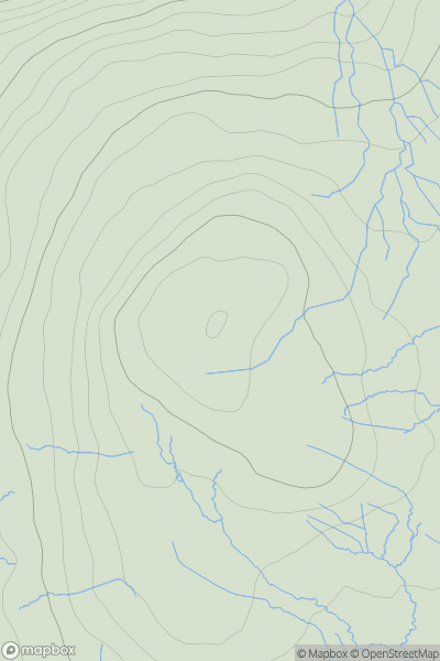
North Pennines
0
674.8User Activity
No recent Activity
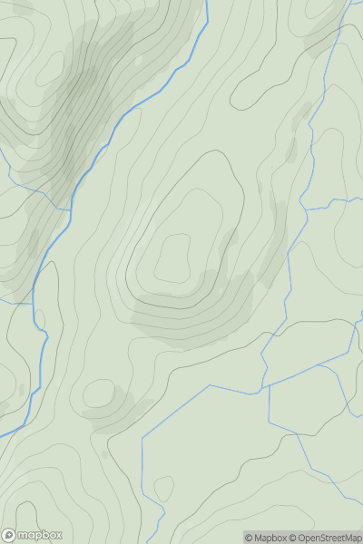
![Thumbnail image for Gull Island [South West England] showing contour plot for surrounding peak](/static/img/mountains_img_db/18766_Gull_Island_[South_West_England].png)
0
Ascents
South West England
0
33.0User Activity
No recent Activity
0
Ascents
Lake District S
0
234.0User Activity
No recent Activity
![Thumbnail image for Castle Hill [Central and Eastern England] showing contour plot for surrounding peak](/static/img/mountains_img_db/19477_Castle_Hill_[Central_and_Eastern_England].png)
0
Ascents
Central and Eastern England
0
169.0User Activity
No recent Activity