


0
Ascents

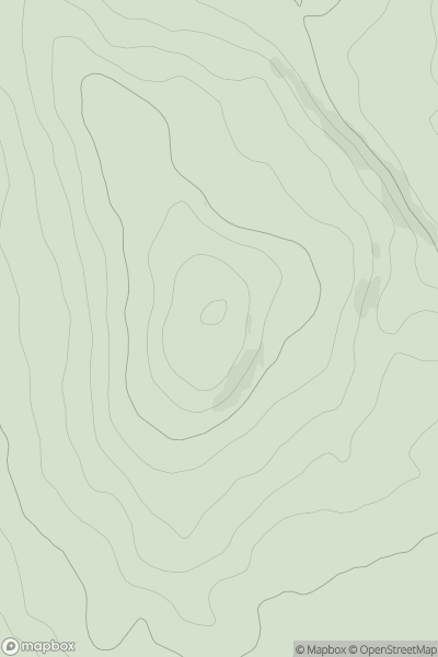
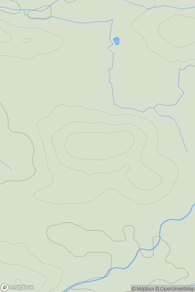
 Lake District S
 0
0 117.0
117.0User Activity
No recent Activity
0
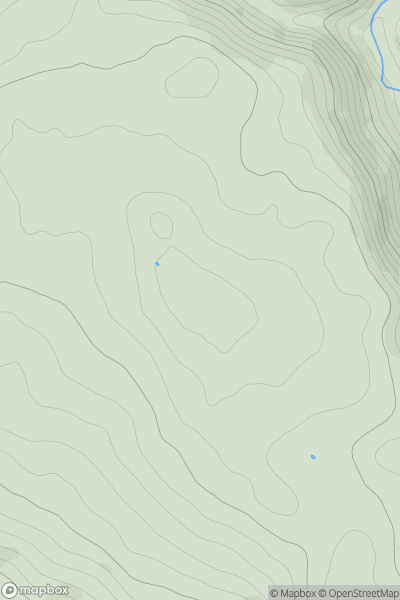
Ascents
Lancashire, Cheshire and S Pennines
0
339.0User Activity
No recent Activity
0
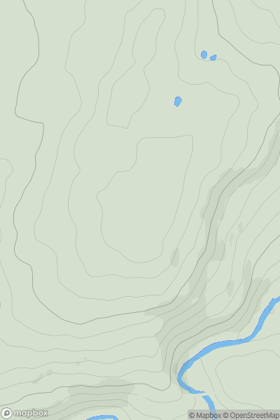
Ascents
Lancashire, Cheshire and S Pennines
0
239.0User Activity
No recent Activity
0
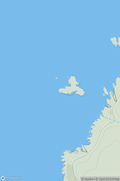
Ascents
South West England
0
32.6User Activity
No recent Activity
0
Ascents
North Pennines
0
191.0User Activity
No recent Activity
0
Ascents
Central and Eastern England
0
131.5User Activity
No recent Activity