


0
Ascents

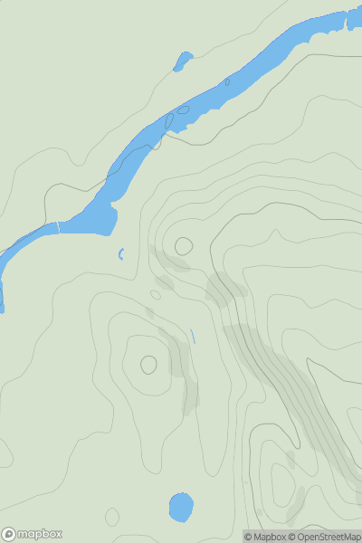
 Shropshire
 0
0 161.0
161.0User Activity
No recent Activity
0
Ascents
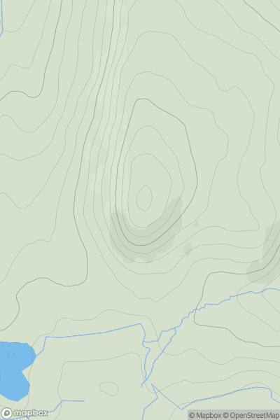
Lancashire, Cheshire and S Pennines
0
437.0User Activity
No recent Activity
0
Ascents
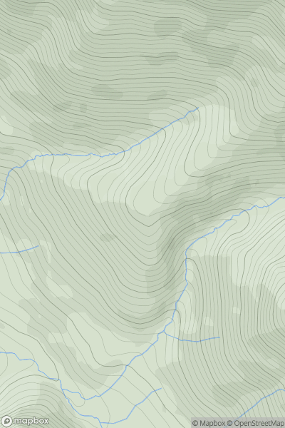
Lake District C&W
0
426.0User Activity
No recent Activity
0
Ascents
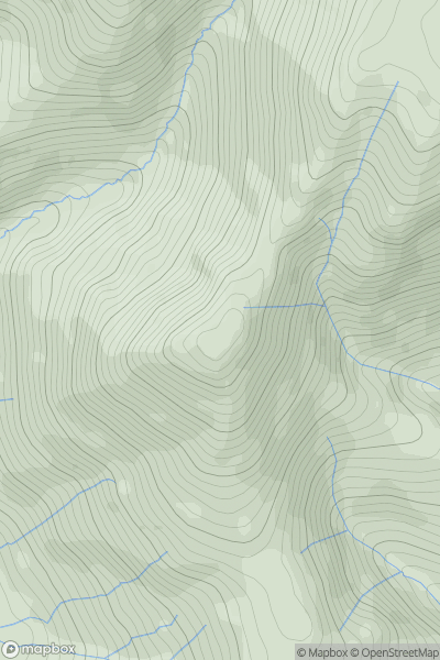
Lake District C&W
0
660.0User Activity
No recent Activity
0
Ascents
Lake District C&W
0
773.9User Activity
No recent Activity
0
Ascents
Lake District S
0
472.0User Activity
No recent Activity