


0
Ascents

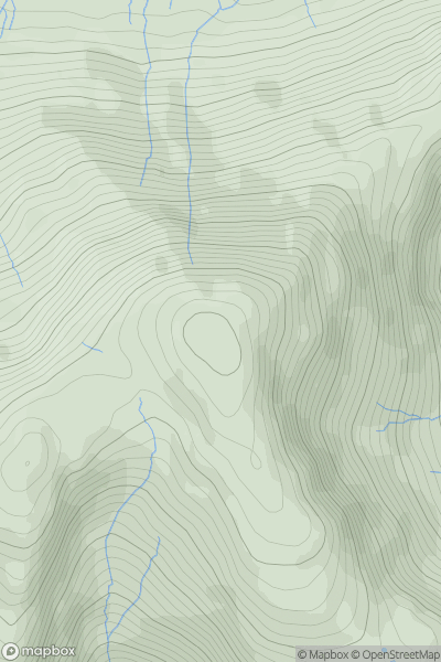
 North Pennines
 0
0 605.0
605.0User Activity
No recent Activity
0
Ascents
Lancashire, Cheshire and S Pennines
0
255.7User Activity
No recent Activity
0
Ascents
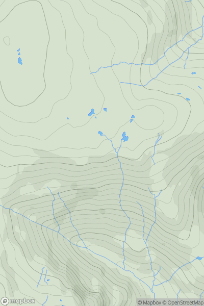
Lake District S
0
91.0User Activity
No recent Activity
0
Ascents
The River Tees to The Wash
0
115.1User Activity
No recent Activity
0
Ascents
Lake District S
0
763.0User Activity
No recent Activity
0
Ascents
Lake District C&W
0
736.0User Activity
No recent Activity