


0
Ascents

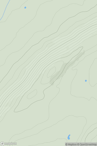
 Shropshire
 0
0 274.0
274.0User Activity
No recent Activity
0
Ascents
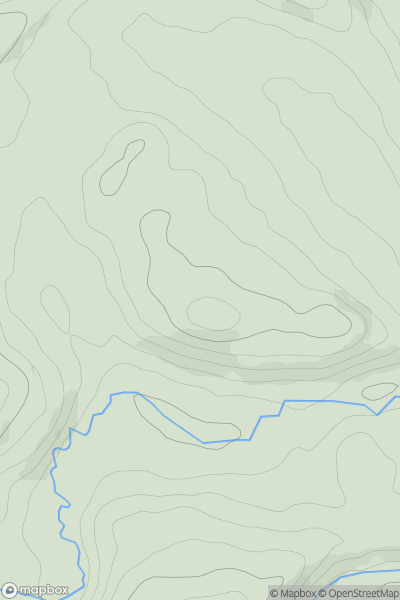
South West England
0
109.0User Activity
No recent Activity
0
Ascents
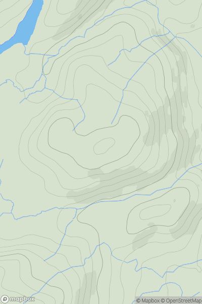
Lake District S
0
170.0User Activity
No recent Activity
0
Ascents
South West England
0
97.9User Activity
No recent Activity
0
Ascents
Welsh Borders S
0
68.0User Activity
No recent Activity

0
Ascents
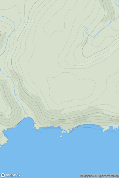
Lake District N
0
321.0User Activity
No recent Activity