

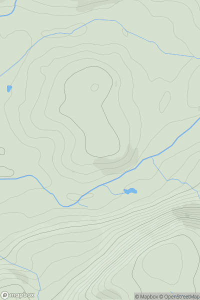
![Thumbnail image for Warren Hill [South Central England] [SY794959] showing contour plot for surrounding peak](/static/img/mountains_img_db/18262_Warren_Hill_[South_Central_England]_[SY794959].png)


0
Ascents

 South Central England
 0
0 118.1
118.1User Activity
No recent Activity
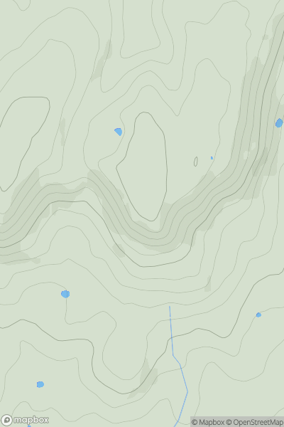
0
Ascents
Lake District S
0
121.0User Activity
No recent Activity
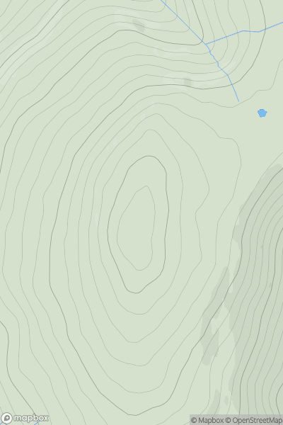
0
Ascents
South East England
0
257.0User Activity
No recent Activity
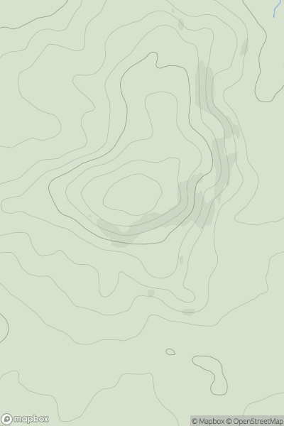
0
Ascents
Northumberland
0
569.3User Activity
No recent Activity
_(nameless_(Bannisdale_Horseshoe)).png)
0
Ascents
Lake District E
0
554.0User Activity
No recent Activity
0
Ascents
South Central England
0
176.0User Activity
No recent Activity