


0
Ascents

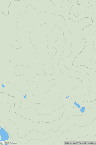
 Central and Eastern England
 0
0 129.0
129.0User Activity
No recent Activity
0
Ascents
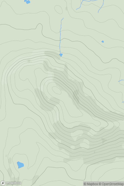
Welsh Borders S
0
283.0User Activity
No recent Activity
0
Ascents
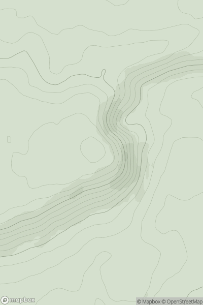
Central and Eastern England
0
289.0User Activity
No recent Activity
0
Ascents
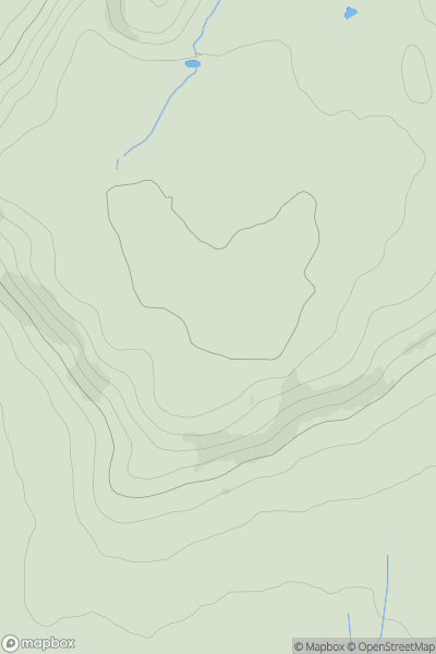
Shropshire
0
153.0User Activity
No recent Activity
0
Ascents
Shropshire
0
163.0User Activity
No recent Activity
0
Ascents
South West England
0
285.4User Activity
No recent Activity