


0
Ascents

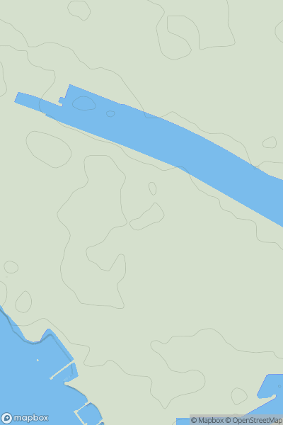
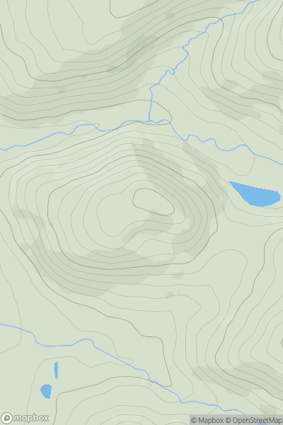
 Lake District S
 0
0 17.0
17.0User Activity
No recent Activity

0
Ascents
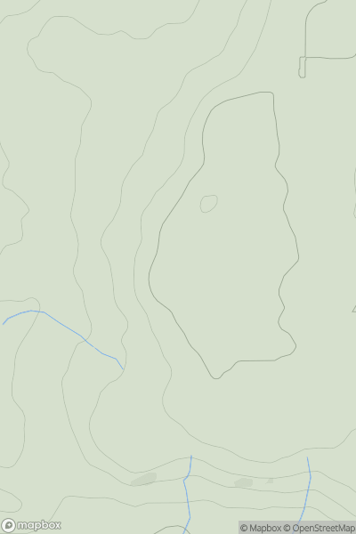
Shropshire
0
267.0User Activity
No recent Activity
0
Ascents
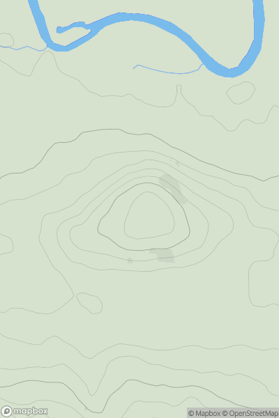
Central Pennines
0
160.0User Activity
No recent Activity
0
Ascents
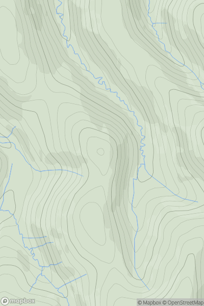
Central Pennines
0
109.0User Activity
No recent Activity
0
Ascents
North Pennines
0
529.2User Activity
No recent Activity
0
Ascents
Lancashire, Cheshire and S Pennines
0
307.0User Activity
No recent Activity