


0
Ascents

 Lake District C&W
 0
0 700.1
700.1User Activity
No recent Activity
0
Ascents
Lake District S
0
133.0User Activity
No recent Activity
0
Ascents
Central and Eastern England
0
221.0User Activity
No recent Activity
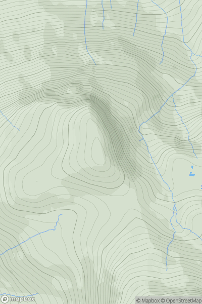
![Thumbnail image for Park Fell [Central Pennines] showing contour plot for surrounding peak](/static/img/mountains_img_db/3614_Park_Fell_[Central_Pennines].png)
0
Ascents
Central Pennines
0
564.0User Activity
No recent Activity
0
Ascents
North Pennines
0
328.3User Activity
No recent Activity
0
Ascents
Lake District C&W
0
807.0User Activity
No recent Activity