


0
Ascents

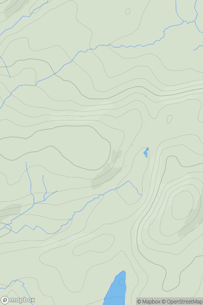
 Lake District S
 0
0 213.0
213.0User Activity
No recent Activity
0
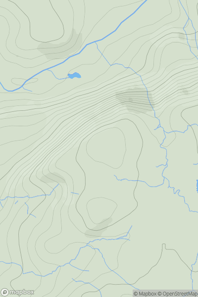
Ascents
Lake District S
0
283.0User Activity
No recent Activity
0
Ascents
South West England
0
91.0User Activity
No recent Activity
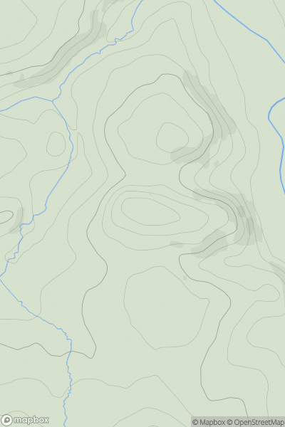
0
Ascents
North Pennines
0
245.0User Activity
No recent Activity
0
Ascents
Central and Eastern England
0
287.0User Activity
No recent Activity
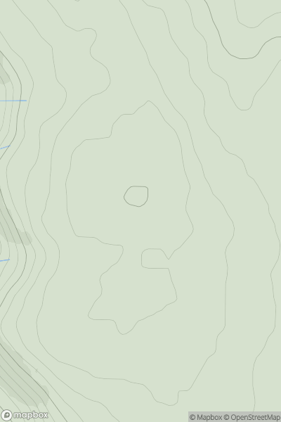
![Thumbnail image for Banks [Lake District S] showing contour plot for surrounding peak](/static/img/mountains_img_db/7906_Banks_[Lake_District_S].png)
0
Ascents
Lake District S
0
311.0User Activity
No recent Activity