


0
Ascents

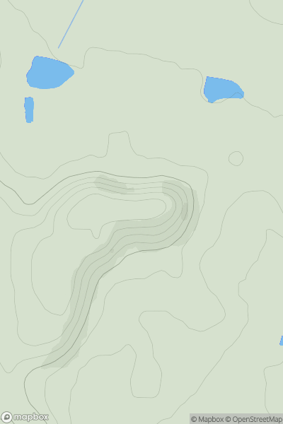
 Welsh Borders S
 0
0 89.0
89.0User Activity
No recent Activity
0
Ascents
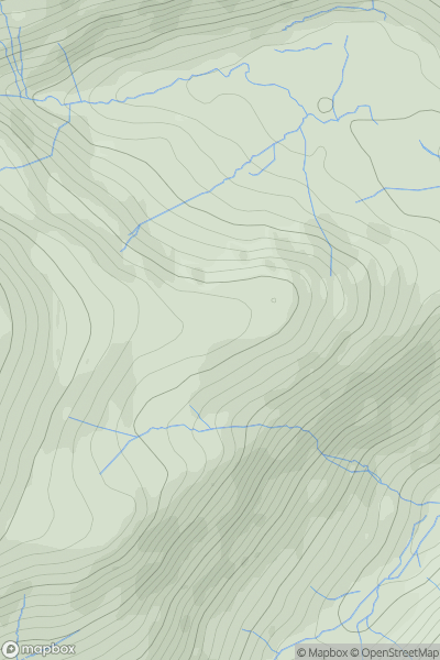
Lake District E
0
673.0User Activity
No recent Activity
0
Ascents
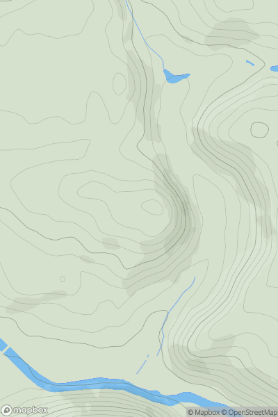
Shropshire
0
140.5User Activity
No recent Activity
0
Ascents
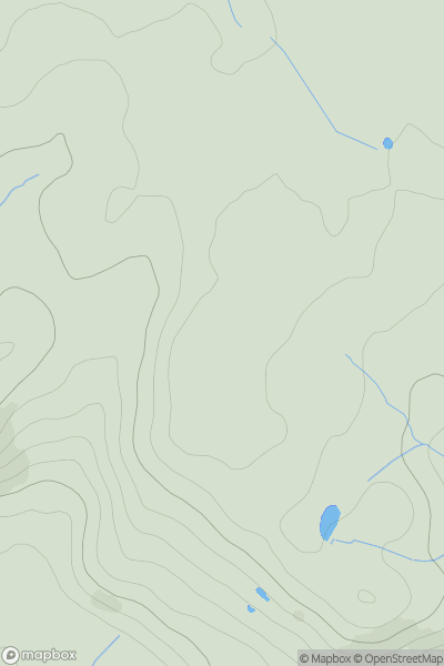
Central and Eastern England
0
123.6User Activity
No recent Activity
0
Ascents
Central and Eastern England
0
34.0User Activity
No recent Activity
0
Ascents
Lancashire, Cheshire and S Pennines
0
551.0User Activity
No recent Activity