


0
Ascents

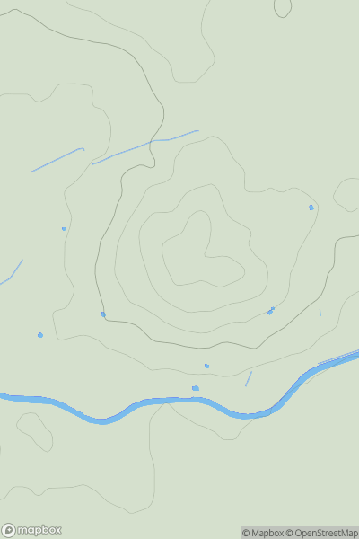
 Central and Eastern England
 0
0 84.9
84.9User Activity
No recent Activity
0
Ascents
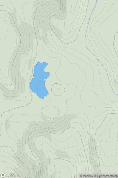
South West England
0
189.0User Activity
No recent Activity
0
Ascents
Lancashire, Cheshire and S Pennines
0
447.0User Activity
No recent Activity
0
Ascents
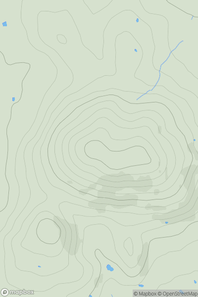
South Central England
0
210.0User Activity
No recent Activity
0
Ascents
South Central England
0
169.0User Activity
No recent Activity
0
Ascents
South West England
0
247.0User Activity
No recent Activity