


0
Ascents

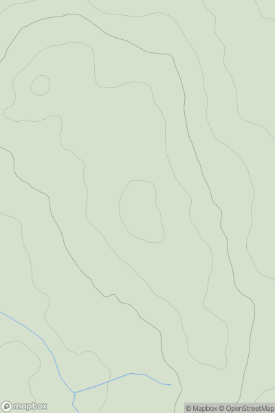
 Lake District N
 0
0 223.0
223.0User Activity
No recent Activity
.png)
0
Ascents
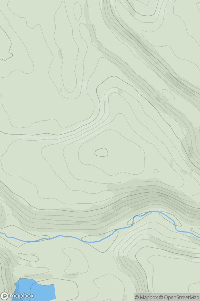
Lake District C&W
0
612.0User Activity
No recent Activity
0
Ascents
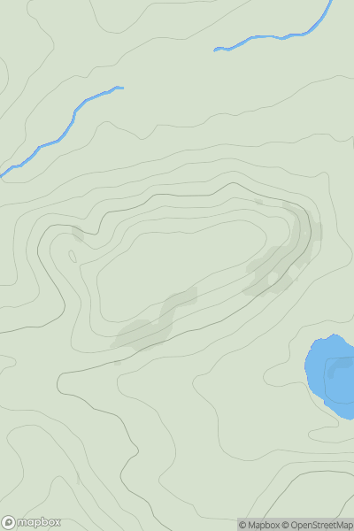
Lancashire, Cheshire and S Pennines
0
350.0User Activity
No recent Activity
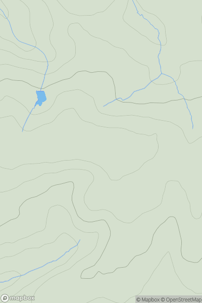
![Thumbnail image for River Hill [South East England] [TQ541524] showing contour plot for surrounding peak](/static/img/mountains_img_db/18395_River_Hill_[South_East_England]_[TQ541524].png)
0
Ascents
South East England
0
215.4User Activity
No recent Activity
0
Ascents
South West England
0
93.0User Activity
No recent Activity
0
Ascents
South West England
0
182.0User Activity
No recent Activity