


0
Ascents

 Northumberland
 0
0 202.0
202.0User Activity
No recent Activity
0
Ascents
Shropshire
0
438.3User Activity
No recent Activity
0
Ascents
South East England
0
229.0User Activity
No recent Activity
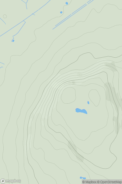
0
Ascents
Lake District S
0
151.0User Activity
No recent Activity
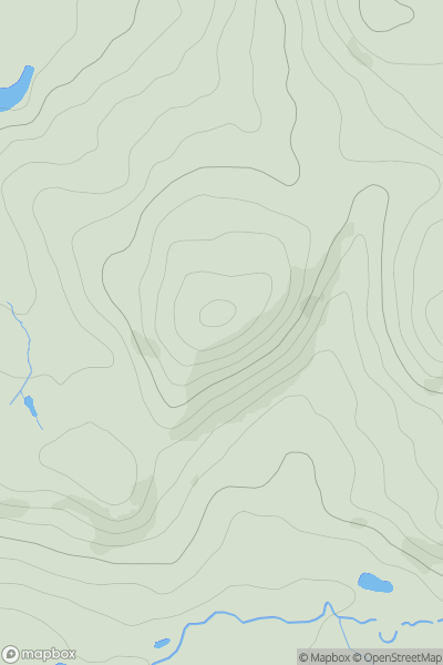
0
Ascents
Lancashire, Cheshire and S Pennines
0
141.0User Activity
No recent Activity
0
Ascents
Lancashire, Cheshire and S Pennines
0
294.0User Activity
No recent Activity