


0
Ascents

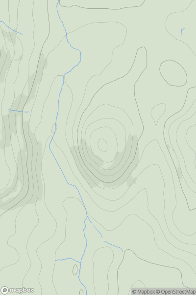
 Lake District S
 0
0 145.0
145.0User Activity
No recent Activity
0
Ascents
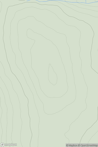
North Pennines
0
492.0User Activity
No recent Activity
0
Ascents
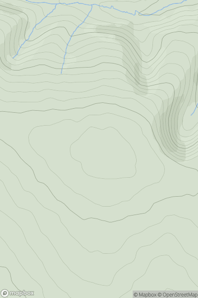
South Central England
0
427.0User Activity
No recent Activity
0
Ascents
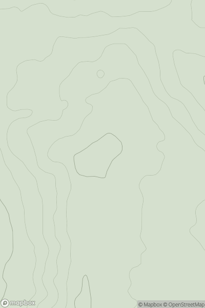
South Central England
0
251.0User Activity
No recent Activity
0
Ascents
Northumberland
0
342.0User Activity
No recent Activity
0
Ascents
Shropshire
0
141.0User Activity
No recent Activity