


0
Ascents

 South Central England
 0
0 220.0
220.0User Activity
No recent Activity
0
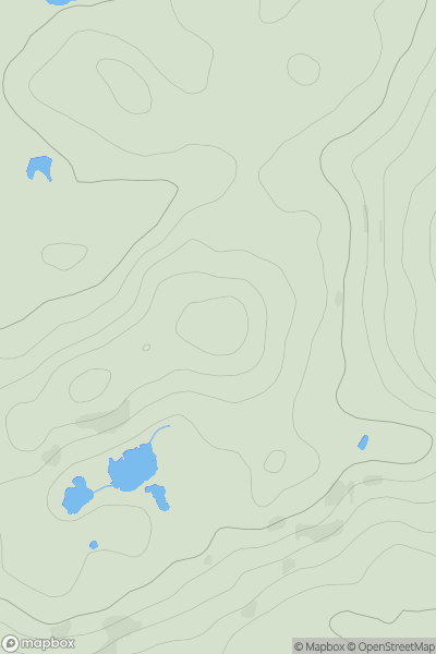
Ascents
Lake District S
0
256.0User Activity
No recent Activity
0
Ascents
The River Tees to The Wash
0
199.2User Activity
No recent Activity
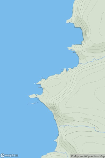
0
Ascents
South West England
0
61.0User Activity
No recent Activity
0
Ascents
Lake District S
0
177.0User Activity
No recent Activity
.png)
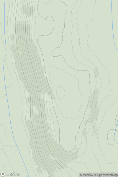
0
Ascents
Lake District C&W
0
640.0User Activity
No recent Activity