


0
Ascents

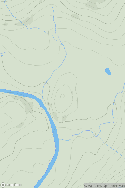
 Central Pennines
 0
0 186.1
186.1User Activity
No recent Activity
0
Ascents
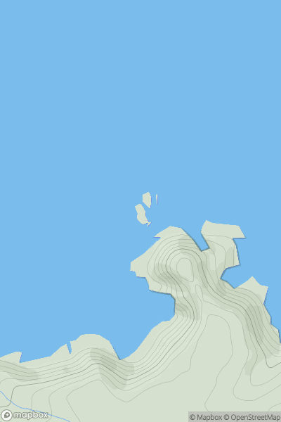
South West England
0
35.8User Activity
No recent Activity
0
Ascents
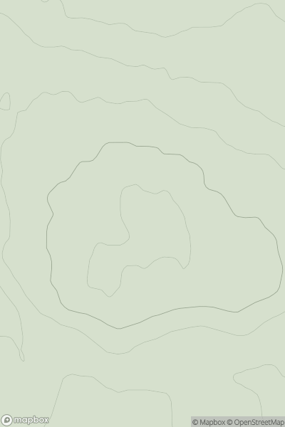
Lake District S
0
156.0User Activity
No recent Activity
0
Ascents
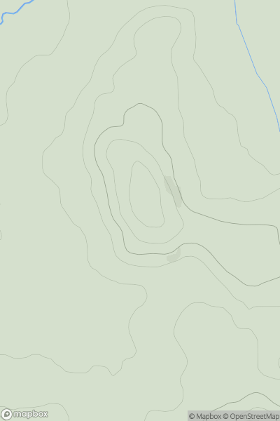
North Pennines
0
313.0User Activity
No recent Activity
0
Ascents
Welsh Borders S
0
119.8User Activity
No recent Activity
0
Ascents
Lake District N
0
308.0User Activity
No recent Activity