


0
Ascents

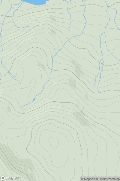
 Lake District S
 0
0 402.0
402.0User Activity
No recent Activity
0
Ascents
Central and Eastern England
0
319.0User Activity
No recent Activity
0
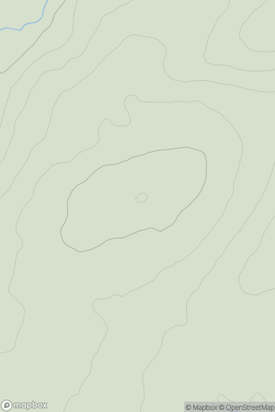
Ascents
Northumberland
0
214.0User Activity
No recent Activity
0
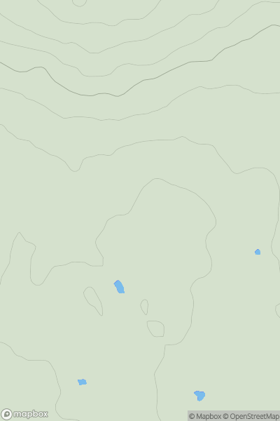
Ascents
North Pennines
0
183.0User Activity
No recent Activity
0
Ascents
South West England
0
221.8User Activity
No recent Activity
0
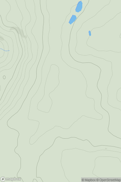
Ascents
Lake District C&W
0
392.0User Activity
No recent Activity