


0
Ascents

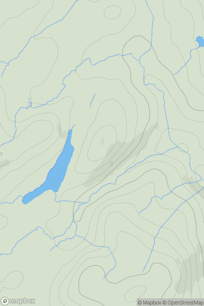
 Lake District S
 0
0 148.0
148.0User Activity
No recent Activity
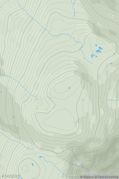
![Thumbnail image for White Pike [Lake District C&W] showing contour plot for surrounding peak](/static/img/mountains_img_db/7968_White_Pike_[Lake_District_C&W].png)
0
Ascents
Lake District C&W
0
782.0User Activity
No recent Activity
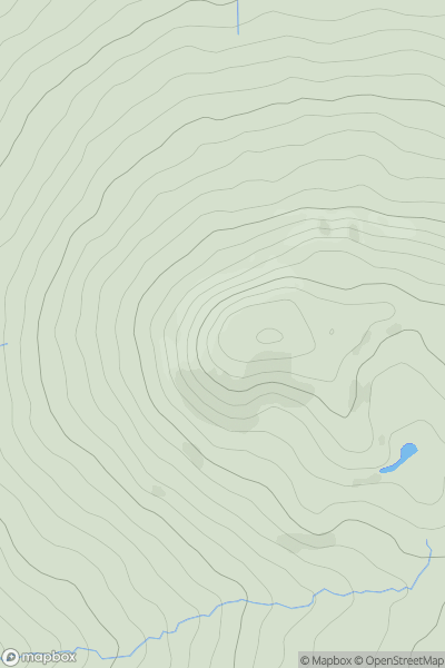
0
Ascents
Lake District C&W
0
783.0User Activity
No recent Activity
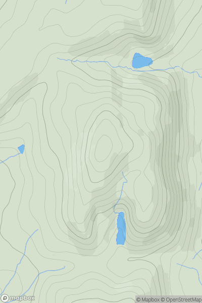
0
Ascents
Shropshire
0
533.2User Activity
No recent Activity
![Thumbnail image for Berry Down [South West England] [SX196690] showing contour plot for surrounding peak](/static/img/mountains_img_db/17546_Berry_Down_[South_West_England]_[SX196690].png)
0
Ascents
South West England
0
283.0User Activity
No recent Activity
0
Ascents
Welsh Borders S
0
284.0User Activity
No recent Activity