


0
Ascents

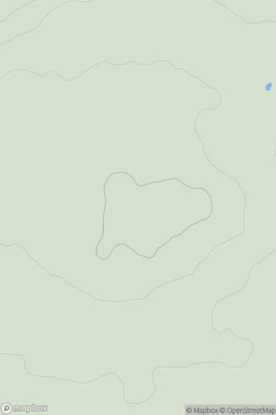
 Lake District E
 0
0 483.0
483.0User Activity
No recent Activity
0
Ascents
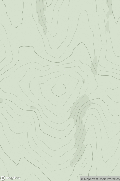
Northumberland
0
108.0User Activity
No recent Activity
0
Ascents
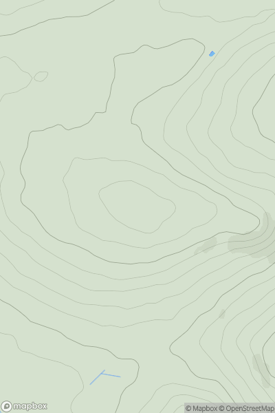
South East England
0
206.0User Activity
No recent Activity
0
Ascents
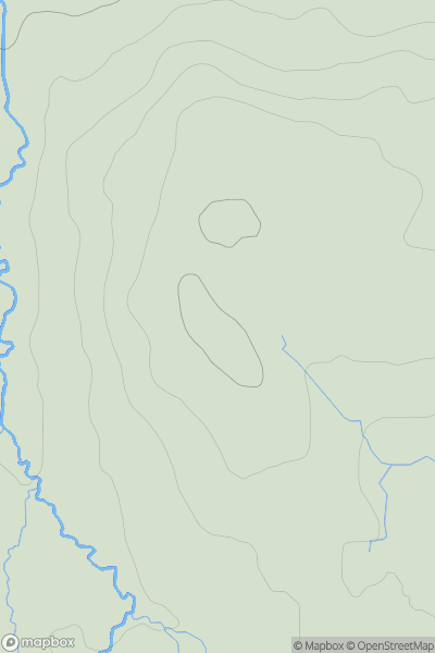
South West England
0
379.0User Activity
No recent Activity
0
Ascents
Northumberland
0
207.2User Activity
No recent Activity
0
Ascents
Lancashire, Cheshire and S Pennines
0
148.5User Activity
No recent Activity