


0
Ascents

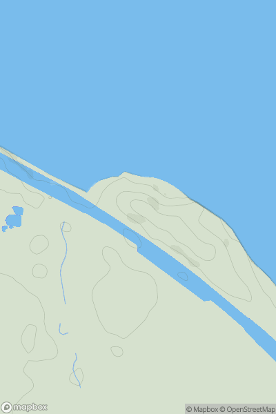
 Lancashire, Cheshire and S Pennines
 0
0 41.0
41.0User Activity
No recent Activity
0
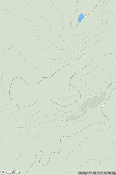
Ascents
Central and Eastern England
0
207.0User Activity
No recent Activity
0
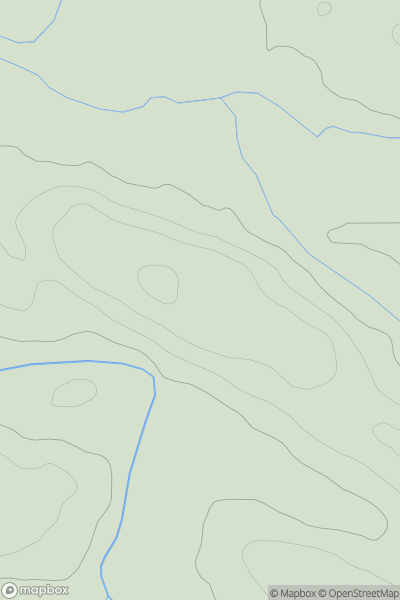
Ascents
North Pennines
0
179.6User Activity
No recent Activity
0
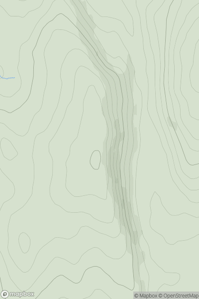
Ascents
Lancashire, Cheshire and S Pennines
0
308.0User Activity
No recent Activity
0
Ascents
Lake District E
0
792.0User Activity
No recent Activity
0
Ascents
Lancashire, Cheshire and S Pennines
0
144.0User Activity
No recent Activity