


0
Ascents

 Lake District C&W
 0
0 499.0
499.0User Activity
No recent Activity
0
Ascents
Lake District N
0
684.1User Activity
No recent Activity
0
Ascents
Lake District S
0
498.0User Activity
No recent Activity
0
Ascents
Central and Eastern England
0
237.0User Activity
No recent Activity
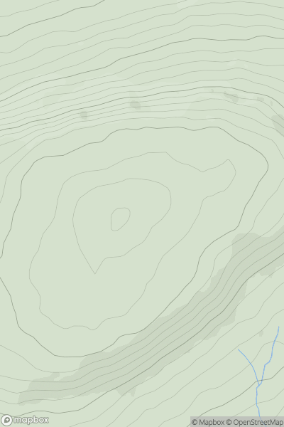
![Thumbnail image for Rushy Hill [Lancashire, Cheshire and S Pennines] [SD735236] showing contour plot for surrounding peak](/static/img/mountains_img_db/16579_Rushy_Hill_[Lancashire,_Cheshire_and_S_Pennines]_[SD735236].png)
0
Ascents
Lancashire, Cheshire and S Pennines
0
377.0User Activity
No recent Activity
0
Ascents
Central Pennines
0
679.9User Activity
No recent Activity