


0
Ascents

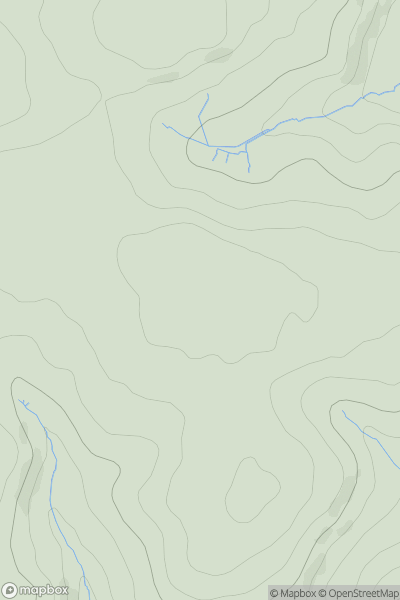
 South East England
 0
0 248.5
248.5User Activity
No recent Activity
0
Ascents
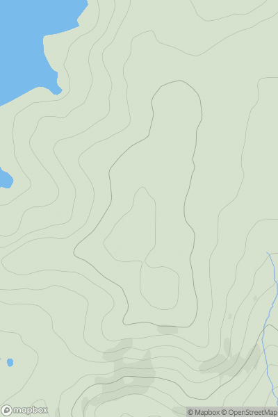
Lancashire, Cheshire and S Pennines
0
127.0User Activity
No recent Activity
0
Ascents
Welsh Borders S
0
141.0User Activity
No recent Activity
0
Ascents
South East England
0
135.0User Activity
No recent Activity
0
Ascents
South West England
0
286.0User Activity
No recent Activity
0
Ascents
Lancashire, Cheshire and S Pennines
0
261.0User Activity
No recent Activity