


0
Ascents

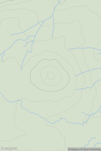
 South West England
 0
0 146.0
146.0User Activity
No recent Activity
0
Ascents
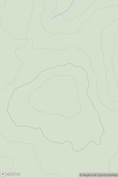
South West England
0
75.6User Activity
No recent Activity
0
Ascents
North Pennines
0
205.9User Activity
No recent Activity
0
Ascents
South West England
0
187.0User Activity
No recent Activity
0
Ascents
Central Pennines
0
575.0User Activity
No recent Activity
0
Ascents
South West England
0
167.6User Activity
No recent Activity