


0
Ascents

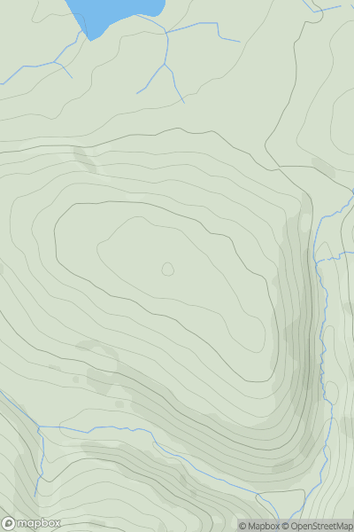
 Lake District S
 0
0 370.0
370.0User Activity
No recent Activity
0
Ascents
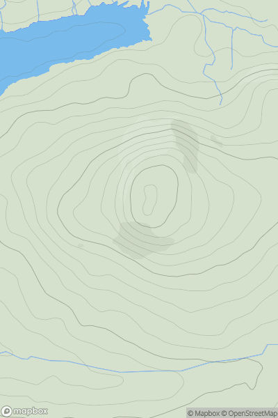
Lake District C&W
0
272.0User Activity
No recent Activity
0
Ascents
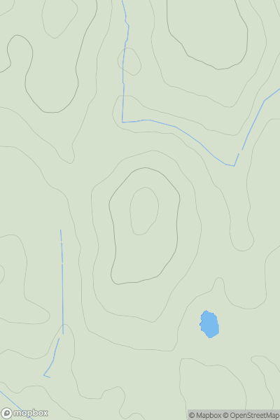
South Central England
0
127.1User Activity
No recent Activity
0
Ascents
South West England
0
369.0User Activity
No recent Activity
0
Ascents
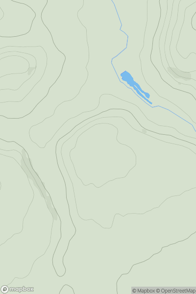
Lake District S
0
65.3User Activity
No recent Activity
0
Ascents
South Central England
0
119.0User Activity
No recent Activity