


0
Ascents

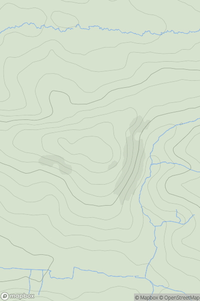
 South West England
 0
0 248.0
248.0User Activity
No recent Activity
0
Ascents
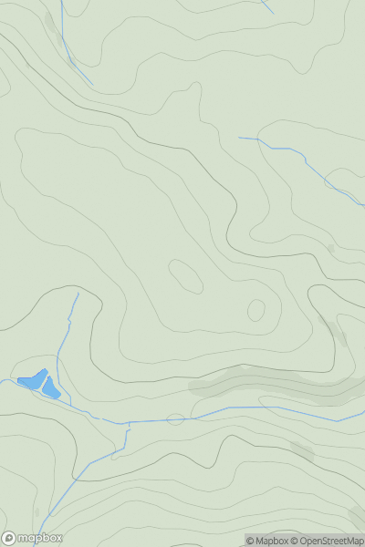
South West England
0
81.9User Activity
No recent Activity
0
Ascents
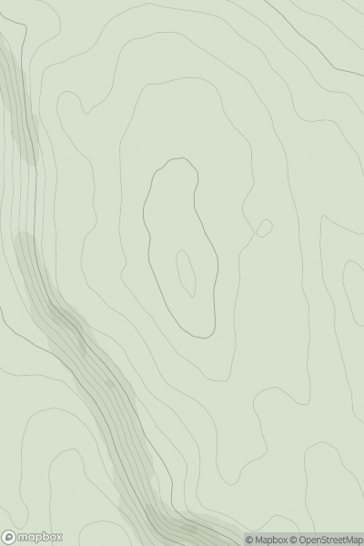
Lake District S
0
215.0User Activity
No recent Activity
0
Ascents
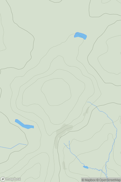
South East England
0
199.0User Activity
No recent Activity
0
Ascents
South Central England
0
177.0User Activity
No recent Activity
0
Ascents
Lancashire, Cheshire and S Pennines
0
369.0User Activity
No recent Activity