

_(nameless_(Bannisdale_Horseshoe)).png)


0
Ascents

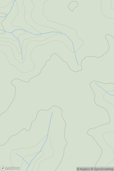
 Lake District E
 0
0 528.0
528.0User Activity
No recent Activity
0
Ascents
South West England
0
109.5User Activity
No recent Activity
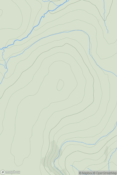
![Thumbnail image for Pen Hill [Central and Eastern England] showing contour plot for surrounding peak](/static/img/mountains_img_db/17279_Pen_Hill_[Central_and_Eastern_England].png)
0
Ascents
Central and Eastern England
0
267.0User Activity
No recent Activity
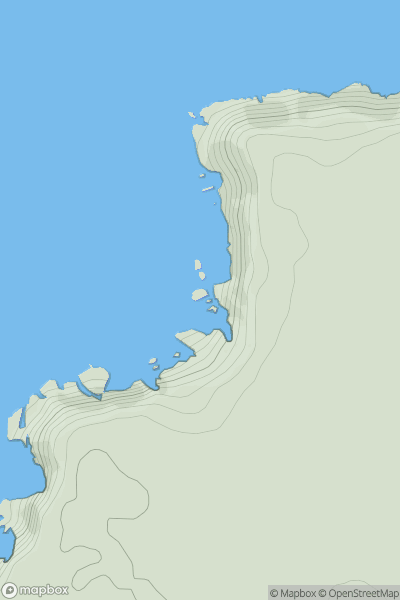
![Thumbnail image for Whitehills [Lancashire, Cheshire and S Pennines] showing contour plot for surrounding peak](/static/img/mountains_img_db/16491_Whitehills_[Lancashire,_Cheshire_and_S_Pennines].png)
0
Ascents
Lancashire, Cheshire and S Pennines
0
478.3User Activity
No recent Activity
0
Ascents
South West England
0
538.0User Activity
No recent Activity
0
Ascents
South West England
0
37.0User Activity
No recent Activity