


0
Ascents

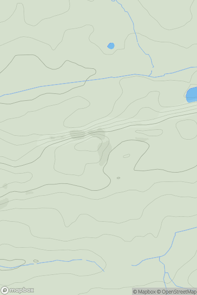
 Central Pennines
 0
0 243.7
243.7User Activity
No recent Activity
0
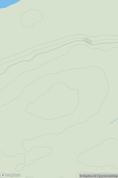
Ascents
Northumberland
0
89.0User Activity
No recent Activity
.png)
0
Ascents
Central and Eastern England
0
21.0User Activity
No recent Activity
0
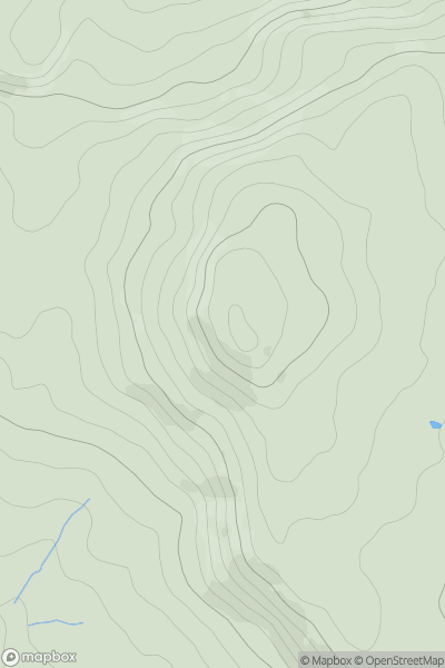
Ascents
Lancashire, Cheshire and S Pennines
0
323.0User Activity
No recent Activity
0
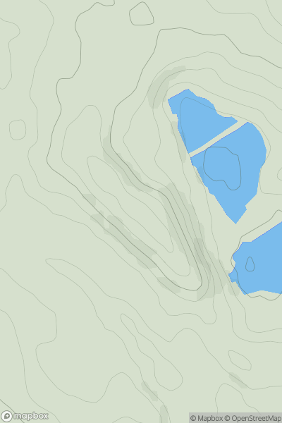
Ascents
Lancashire, Cheshire and S Pennines
0
381.0User Activity
No recent Activity
0
Ascents
South West England
0
33.4User Activity
No recent Activity