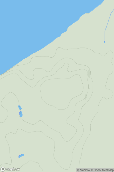
Ariel drone view of mountainous landscape with rolling clouds flowing over peak

Journal your hikes and share your adventures.

Bag peaks across the UK & Ireland, track your progress and see updates from Donder's growing community of hikers.

Donder's profile view available to users after sign-up, shows example user with progress tracking, hiking journal and user leaderboard

Thumbnail image for Hele Cross showing contour plot for surrounding peak
ENG
Icon of location pin
137m
Icon of vertical, double ended, arrow to symbolise height of mountain

Hele Cross

Icon of mountain used to symbolise the number of ascents made by users

0
Ascents

Thumbnail image for Long Man Hill showing contour plot for surrounding peak
ENG
Icon of location pin
658m
Icon of vertical, double ended, arrow to symbolise height of mountain

Long Man Hill

Icon of mountain used to symbolise the number of ascents made by users

0
Ascents

Thumbnail image for Challacombe Down showing contour plot for surrounding peak
ENG
Icon of location pin
463m
Icon of vertical, double ended, arrow to symbolise height of mountain

Challacombe Down

Icon of mountain used to symbolise the number of ascents made by users

0
Ascents

Thumbnail image for Thicket Hill showing contour plot for surrounding peak
ENG
Icon of location pin
140m
Icon of vertical, double ended, arrow to symbolise height of mountain

Thicket Hill

Icon of mountain used to symbolise the number of ascents made by users

0
Ascents

Thumbnail image for Aust Hill showing contour plot for surrounding peak
ENG
Icon of location pin
47m
Icon of vertical, double ended, arrow to symbolise height of mountain

Aust Hill

Icon of mountain used to symbolise the number of ascents made by users

0
Ascents

Thumbnail image for Northfield Hill showing contour plot for surrounding peak
ENG
Icon of location pin
182m
Icon of vertical, double ended, arrow to symbolise height of mountain

Northfield Hill

Icon of mountain used to symbolise the number of ascents made by users

0
Ascents