


0
Ascents

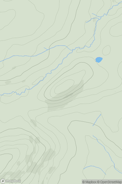
 Shropshire
 0
0 233.6
233.6User Activity
No recent Activity
0
Ascents
Lancashire, Cheshire and S Pennines
0
459.0User Activity
No recent Activity
0
Ascents
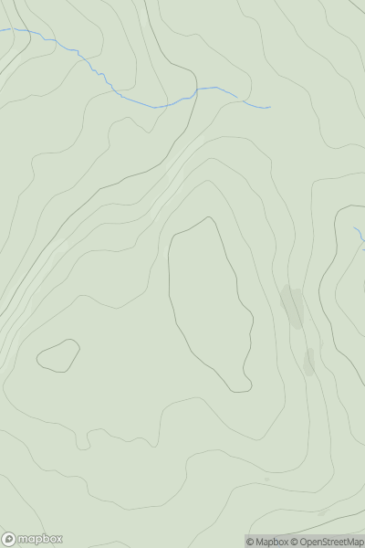
Welsh Borders S
0
279.0User Activity
No recent Activity

0
Ascents
The River Tees to The Wash
0
115.0User Activity
No recent Activity

0
Ascents
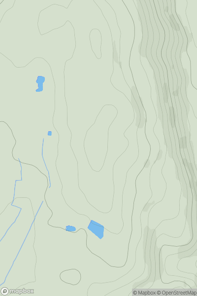
Lake District S
0
730.0User Activity
No recent Activity
0
Ascents
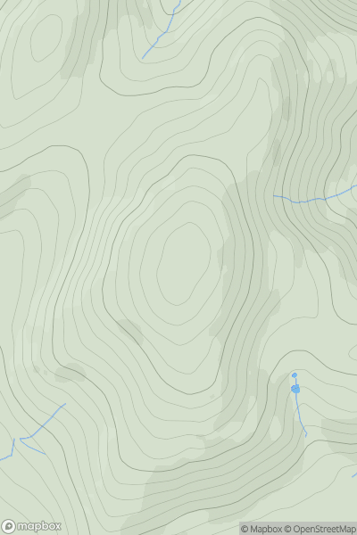
Shropshire
0
452.6User Activity
No recent Activity