


0
Ascents

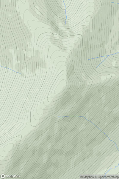
 Lake District C&W
 0
0 791.0
791.0User Activity
No recent Activity
0
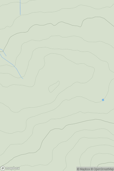
Ascents
Lake District N
0
344.0User Activity
No recent Activity
0
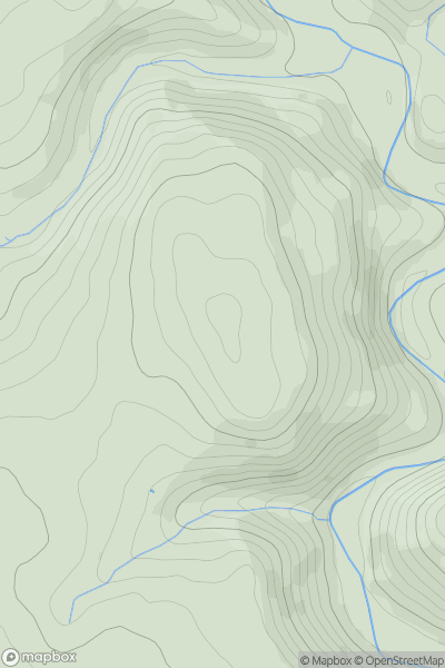
Ascents
Lancashire, Cheshire and S Pennines
0
334.0User Activity
No recent Activity
0
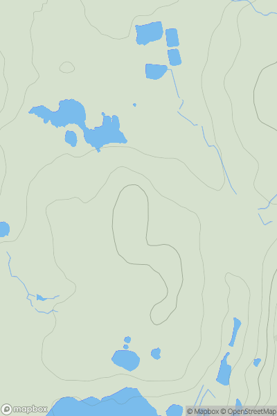
Ascents
Lake District S
0
59.0User Activity
No recent Activity
0
Ascents
Central and Eastern England
0
119.7User Activity
No recent Activity
0
Ascents
Shropshire
0
324.7User Activity
No recent Activity