


0
Ascents

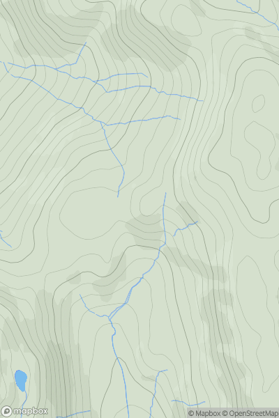
 Lake District S
 0
0 307.0
307.0User Activity
No recent Activity
0
Ascents
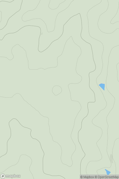
Central and Eastern England
0
165.0User Activity
No recent Activity
0
Ascents
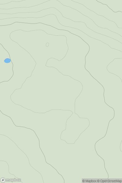
North Pennines
0
218.0User Activity
No recent Activity
0
Ascents
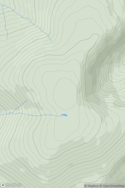
Lake District S
0
600.0User Activity
No recent Activity
0
Ascents
Central and Eastern England
0
98.5User Activity
No recent Activity
0
Ascents
North Pennines
0
614.0User Activity
No recent Activity