


0
Ascents

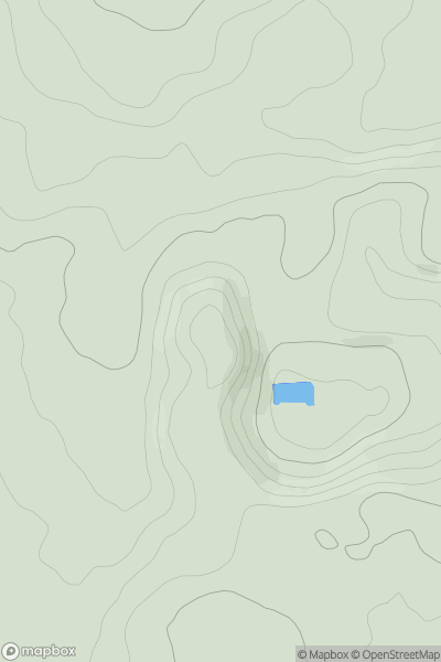
 Lake District S
 0
0 211.0
211.0User Activity
No recent Activity
0
Ascents
The River Tees to The Wash
0
82.0User Activity
No recent Activity
0
Ascents
South West England
0
128.0User Activity
No recent Activity
0
Ascents
South West England
0
234.0User Activity
No recent Activity
0
Ascents
Lancashire, Cheshire and S Pennines
0
367.9User Activity
No recent Activity
0
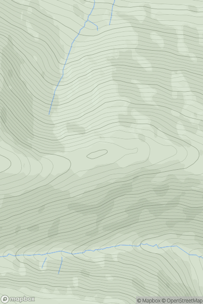
Ascents
Lake District N
0
604.0User Activity
No recent Activity