


0
Ascents

 South Central England
 0
0 138.0
138.0User Activity
No recent Activity
0
Ascents
South East England
0
150.0User Activity
No recent Activity

0
Ascents
Lancashire, Cheshire and S Pennines
0
156.0User Activity
No recent Activity

0
Ascents
The River Tees to The Wash
0
177.8User Activity
No recent Activity
0
Ascents
Lake District N
0
505.0User Activity
No recent Activity
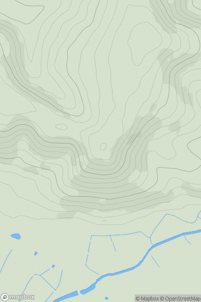
![Thumbnail image for Melbury Hill [South West England] showing contour plot for surrounding peak](/static/img/mountains_img_db/17593_Melbury_Hill_[South_West_England].png)
0
Ascents
South West England
0
216.0User Activity
No recent Activity