


0
Ascents

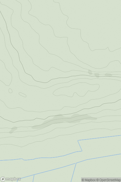
 South Central England
 0
0 73.1
73.1User Activity
No recent Activity
0
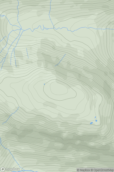
Ascents
Lake District E
0
676.1User Activity
No recent Activity
0
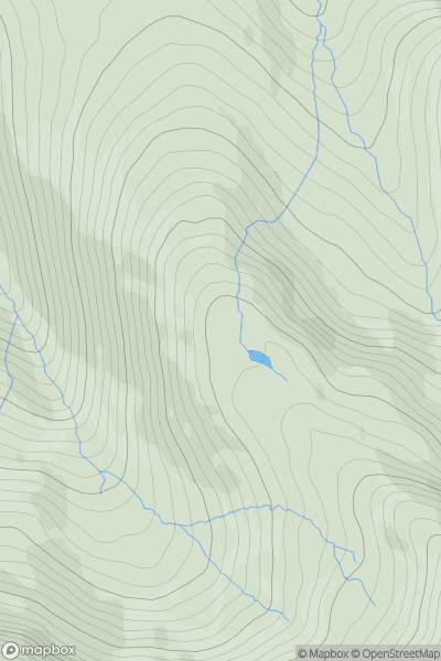
Ascents
Lake District C&W
0
612.0User Activity
No recent Activity
0
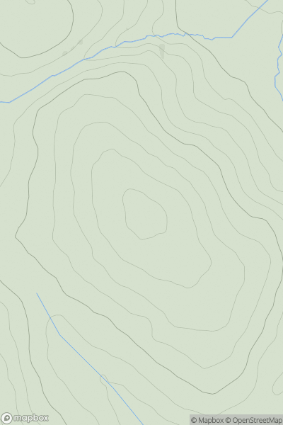
Ascents
South West England
0
346.0User Activity
No recent Activity
0
Ascents
Welsh Borders S
0
233.0User Activity
No recent Activity
0
Ascents
South Central England
0
131.9User Activity
No recent Activity