


0
Ascents

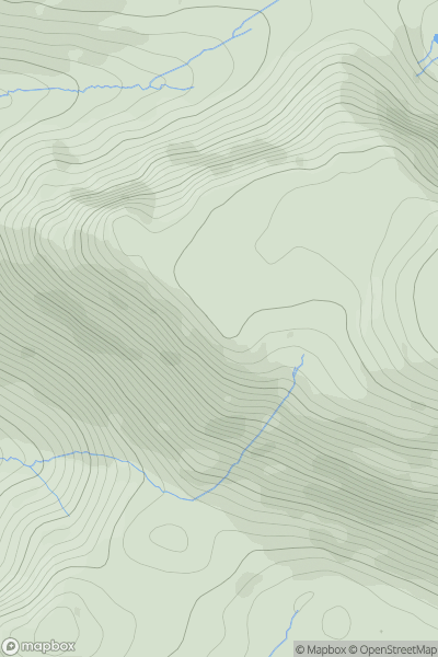
 Lake District C&W
 0
0 562.0
562.0User Activity
No recent Activity

0
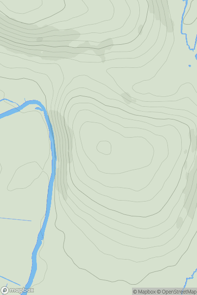
Ascents
South Central England
0
99.0User Activity
No recent Activity
0
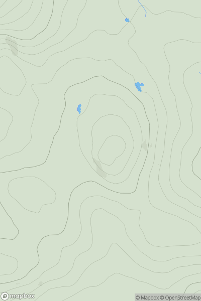
Ascents
South Central England
0
143.0User Activity
No recent Activity
0
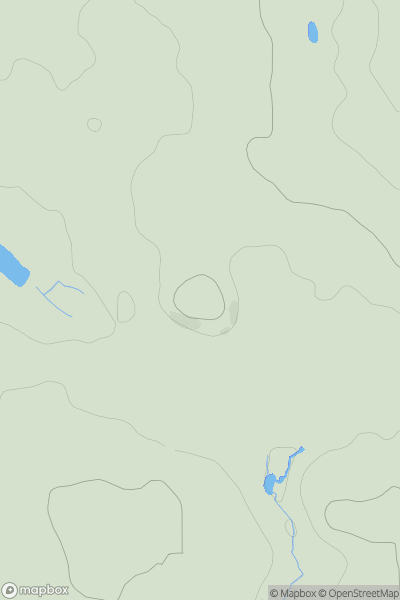
Ascents
South West England
0
457.0User Activity
No recent Activity
0
Ascents
Lancashire, Cheshire and S Pennines
0
171.0User Activity
No recent Activity
0
Ascents
Lancashire, Cheshire and S Pennines
0
563.0User Activity
No recent Activity